On Monday, our friends Mike and Miriam asked if we would be interested in going to a ghost town. They had been wanting to explore around there so off we went. When we arrived at the turnoff, we traveled on paved road for 6 miles and then dirt and rock another 14. The landscape started with desert like terrain with some irrigated spots as shown in the following picture. It then turned into barren land.
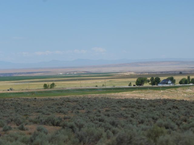
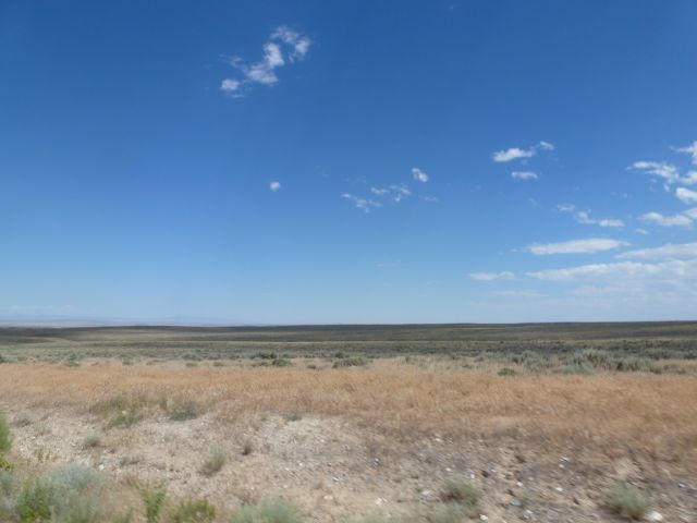 From there, it turned into hilly barren land and then into hills with green trees and bushes.
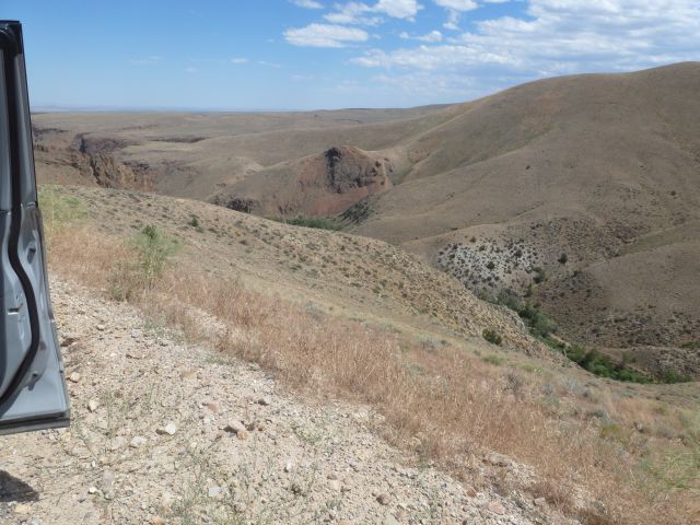
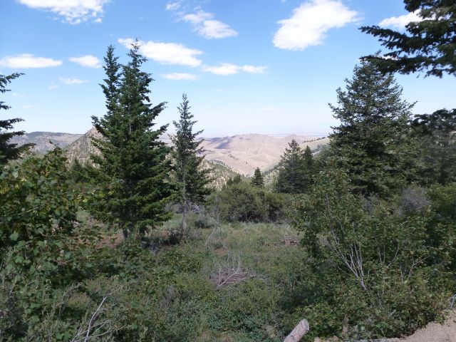 Climbing slowly up this mountain, we finally came around a bend and there was the town that we had been looking for.
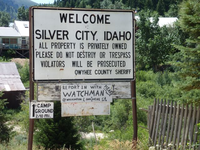 The town was built during a silver and gold rush in the 1880’s. Below are some pictures of the town. Some have explanations just before the pictures.
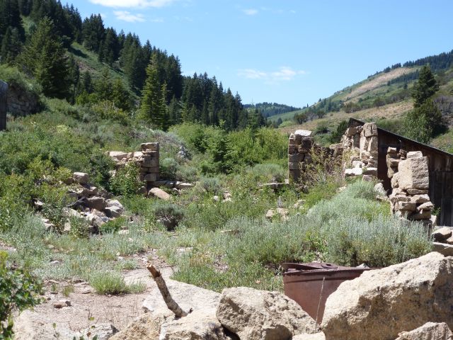
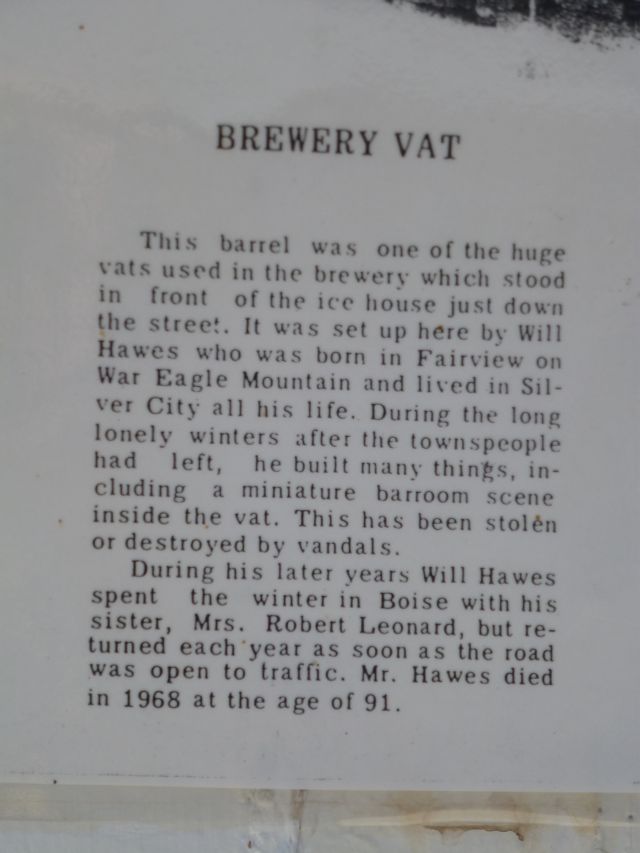
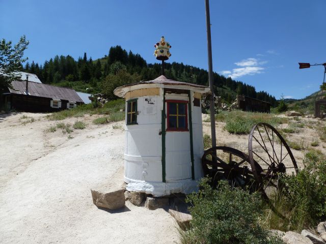
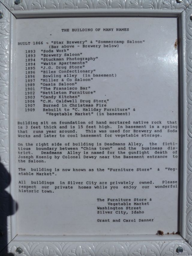
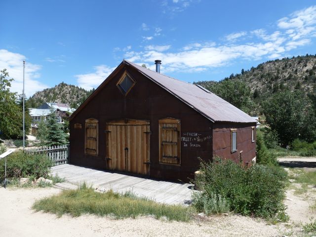 Below are 2 pictures of the town during it hayday in 1900 and another picture taken in 1950. Notice the difference.
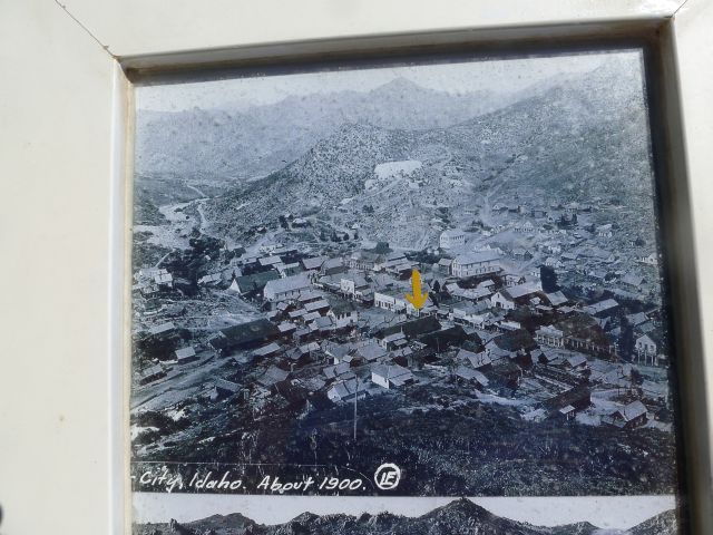
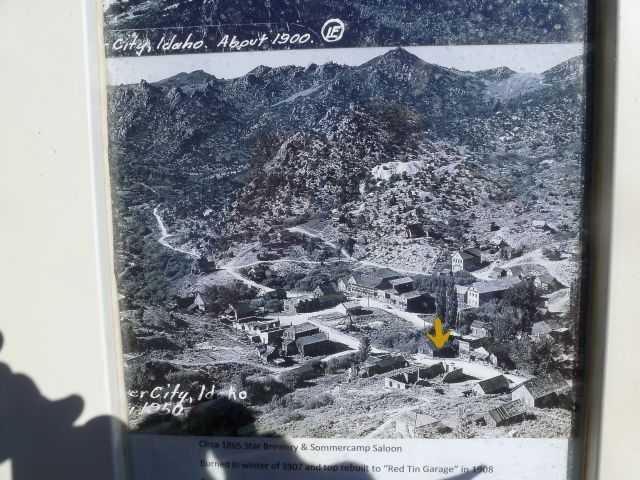 The next picture is of the residential area now. No one lives there full time now, just weekends, holidays, and summers until the snow falls in the fall.
 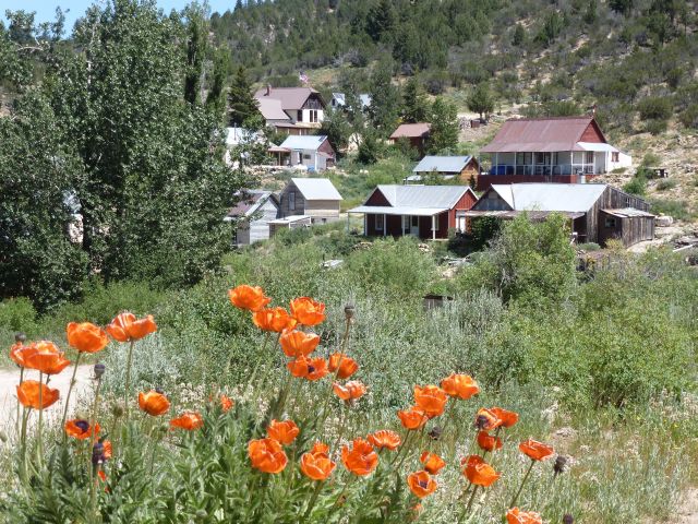 Part of downtown.
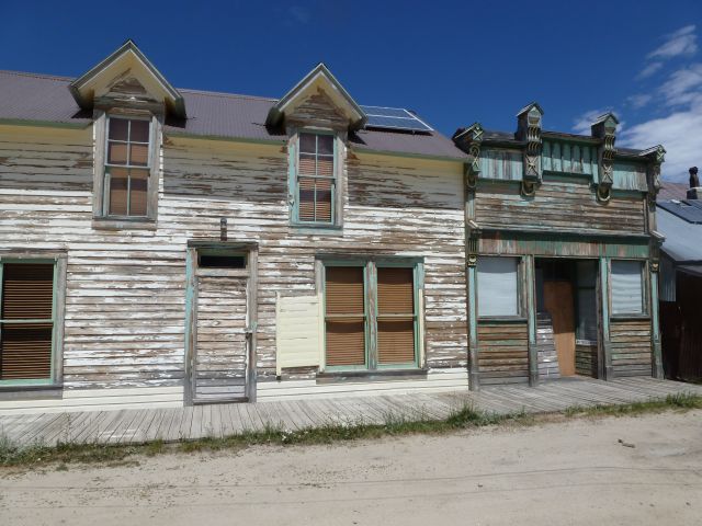 The Grand Hotel is the largest building in town. They still take boarders and serve meals daily, hamburgers and light sandwiches.
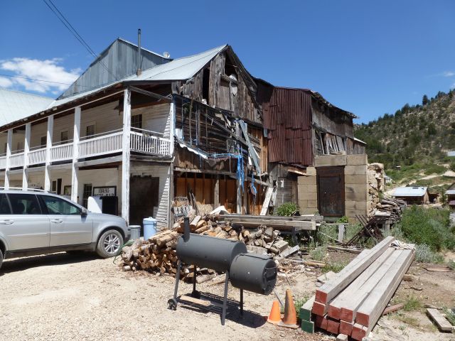
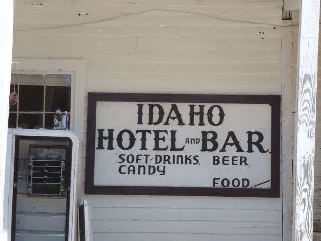
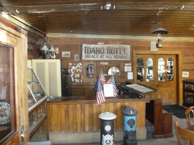
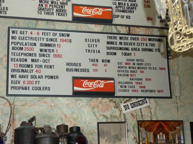
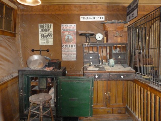 When we were reading the menu on the wall, I at first thought that this was the menu board. But it turns out that this was an informational sign about the facts of the city. I thought that this was interesting.
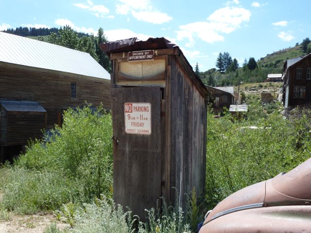
 I would hate to have to make an appointment every time that I needed to use this.
 This was an interesting day and we enjoyed it very much. It was disheartening to see a growing viable town of 100 years ago to end up almost nonexistent today. For more reading on Silver City, click on this link. www.historicsilvercityidaho.com
